
~Blake Fell & Burnbank Fell~
13th February 2020
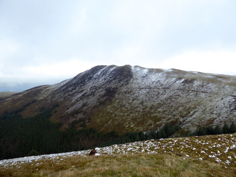
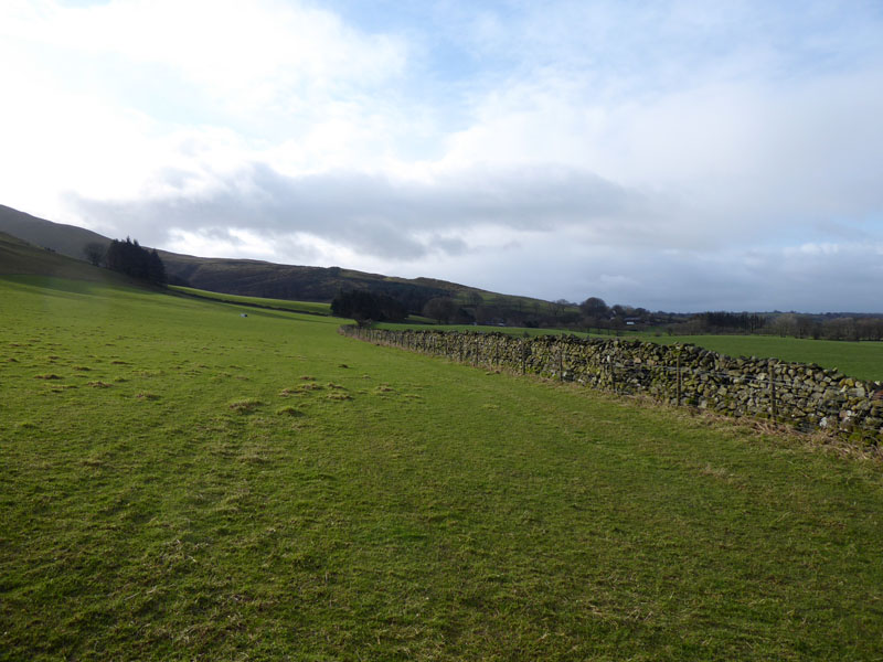
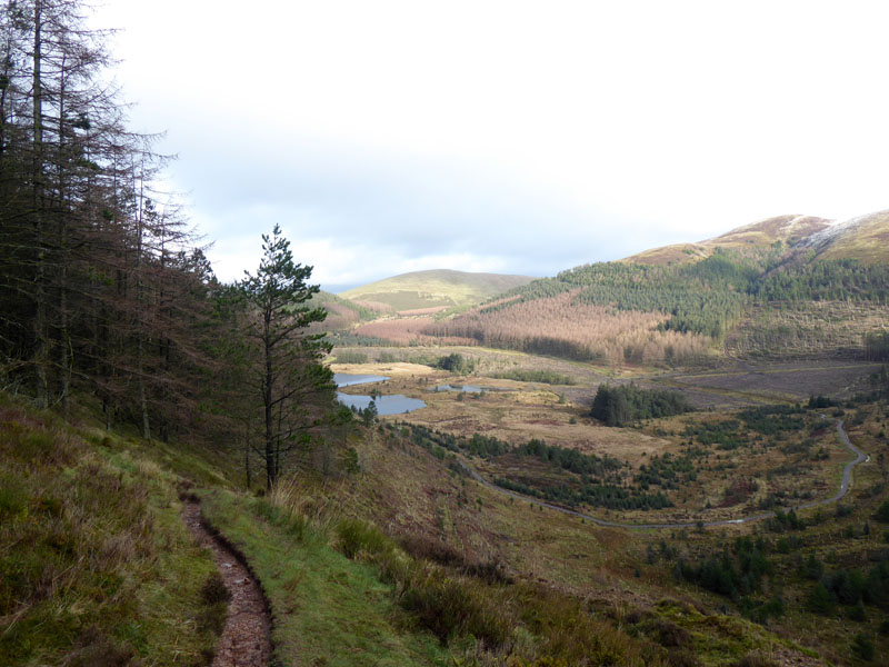
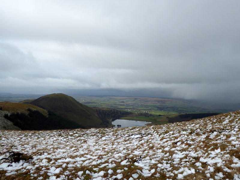
Blake Fell from High Pen
 |
 |
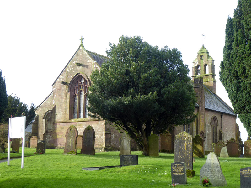
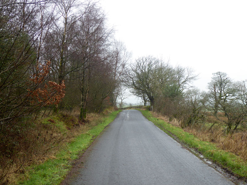
It snowed quite heavily in certain parts of the Cumbrian Fells overnight and in particular the fells behind Scales Farm (where I was enjoying B&B accommodation). However, I didn't want to trudge through freshly fallen snow for hours, so I headed out west to Lamplugh for an ascent of Burnbank Fell as per Wainwright Book 7 BF4. St.Michael's Church was built in 1870 on the site of former churches dating back to c1150. The footpath leads to the fells, or does it? I can't imagine ever buying revised versions of Wainwright's Guides, so I take my chances when reading about routes trodden by him around the time of my birth.
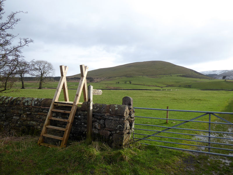
No Access To The Fell
Three different signs tell walkers "No Access", so rather than move the car, I took the footpath south to Dockray Nook and Cogra Moss and my primary target swithced from Burnbank Fell to Blake Fell. Nowadays with Open Access, it's important to read your maps carefully and understand that which is allowed and that which is not - quite often it's the grazed land which is not accessible.
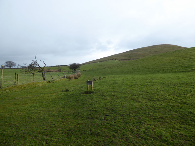
To Dockray Nook
Well, this is pleasant enough. Snow is great to walk on and it gives the fells a special appeal, but the freshly fallen stuff can drain your legs. Bit picky, me! Wait all winter for a snowfall then drive several miles away from the stuff.
 |
 |
Dockray Nook |
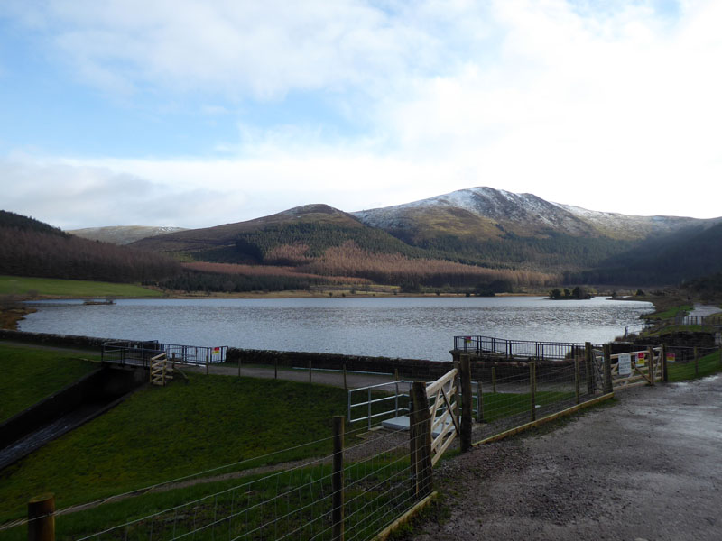
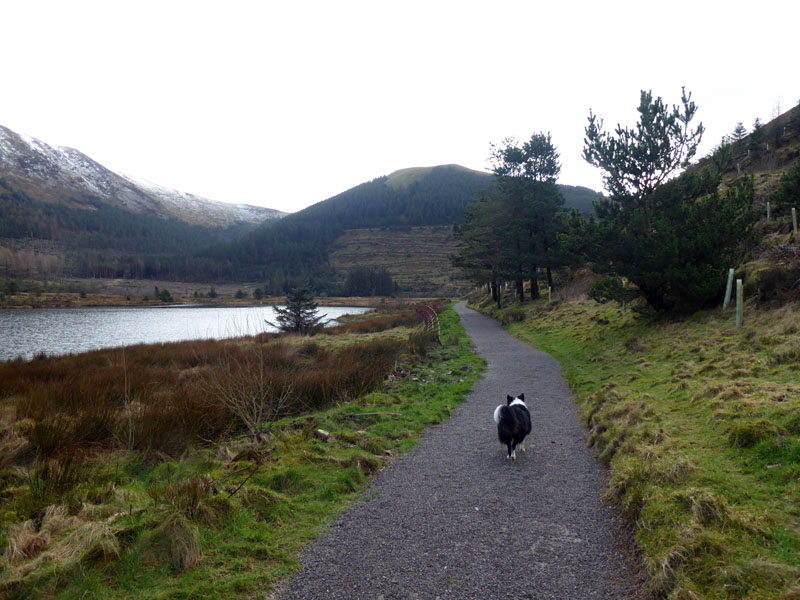
Cogra Moss |
Wiser walkers than me will park at Felldyke and start with a straightforward walk to Cogra Moss. Blake Fell comes into view with Sharp Knott a little nearer the camera.
Low Pen
The aforested hill directly ahead is Low Pen, very easy paced so far.
Donkey Trod
A climbing path heads up the hillside on a track I've seen referred to as "Donkey Trod" with Knock Murton on your right as you climb.
Low Pen
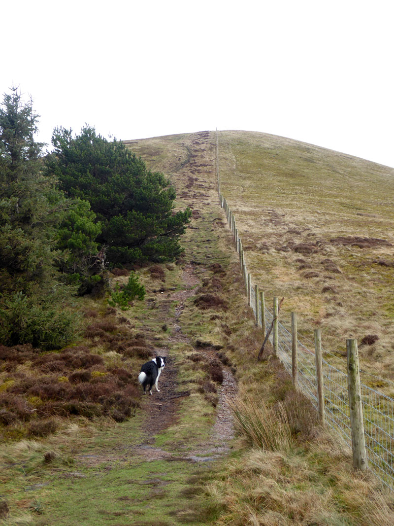
Fences...dividers and protectors of territory, they often go un-noticed, they are usually marked on maps and can help with navigation. Here it is fairly obvious which way to go.
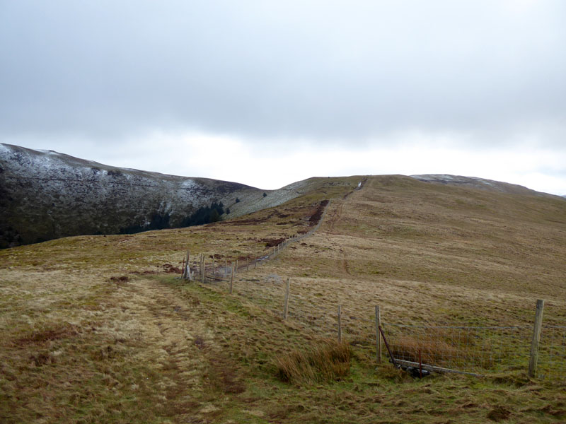
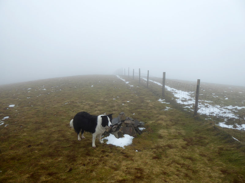
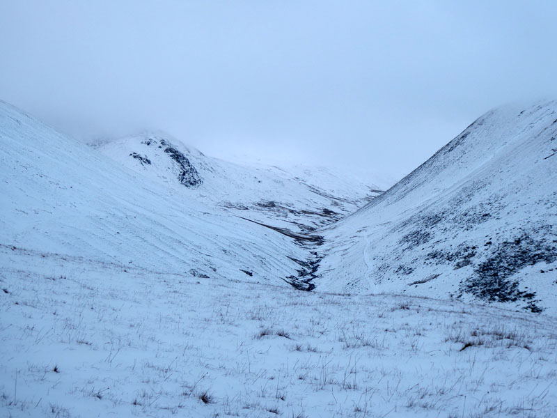
High Pen
Blake Fell
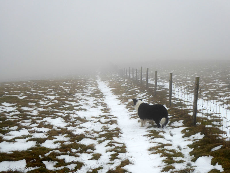
Interestingly there are two paths contouring along the front of the fell, one of which is clearly visible here. How many of us get to these places without wishing to get to the top?
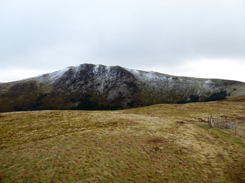
Knock Murton
As I look back to Cogra Moss and Knock Murton, I first notice an encroaching weather event - a bank of low cloud is slowly making its way towards us.
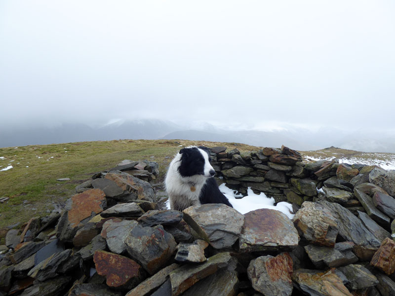
Blake Fell Summit 1,878ft asl
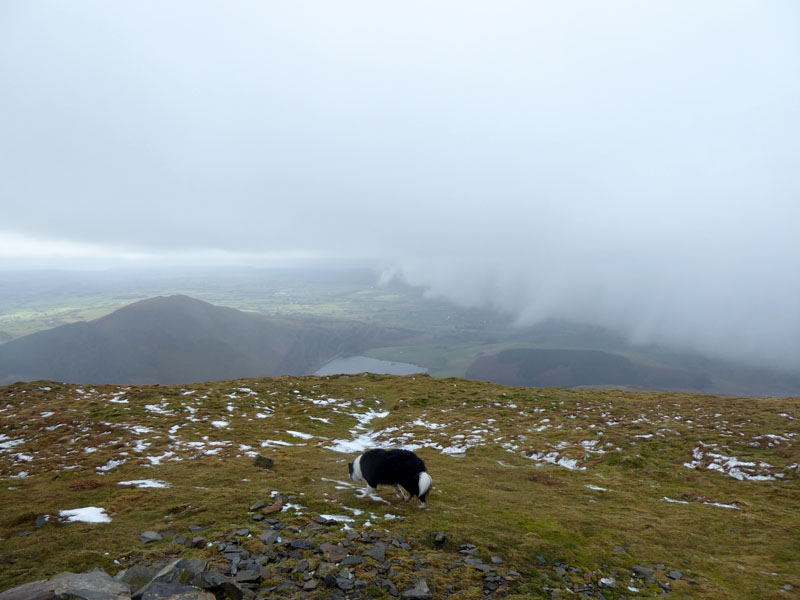
Gloom Approaching
The change in the weather persuaded me to head for Sharp Knott and give Burnbank Fell a miss. However, on the way to Sharp Knott I came across a forestry sign barring our way as work was in progress - and I could hear the machinery. In the mist I followed a feint track and made my way to where I expected Burnbank Fell to be. I knew from the map that I would reach a fence sooner or later, but which one? One runs north/south and leads to Burnbank Fell and the other east/west. Once I found a fence, I got the compass out and determined that we had reached the east/west one; we turned east met the north/south one and made our way to the top of Burnbank Fell.
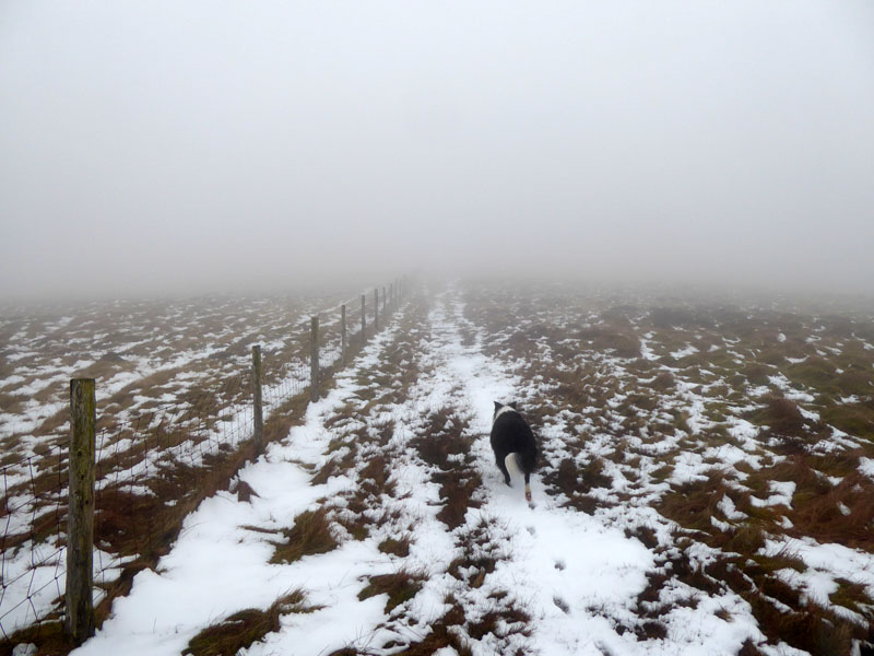
To the summit of Burnbank Fell
If you get chance to look at the map, you will notice that the fences intersect in a featureless col and without a compass it would have been difficult to be sure which way to go. I don't bother with GPS or so-called smart phones with their apps.
 |
 |
Molly celebrates reaching the top of Burnbank Fell 1,580ft asl (approx.) and then all we have to do is head downhill along the fence.
Open Access Land
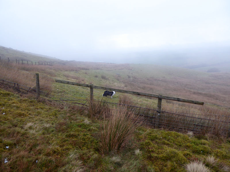
It's all well and good having the freedom to roam on Open Access Land, but those fences which have proved so helpful can also be a hinderance. Someone has nailed a wooden rail to the fenceposts, presumably so walkers can safely get over the fence with its barbed wire. It's not ideal having to lift a dog over the rail and then yourself, but it's better than not having a rail. The map offers no obvious way of escaping the next field and gaining access to the road.
~~~
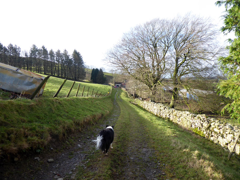
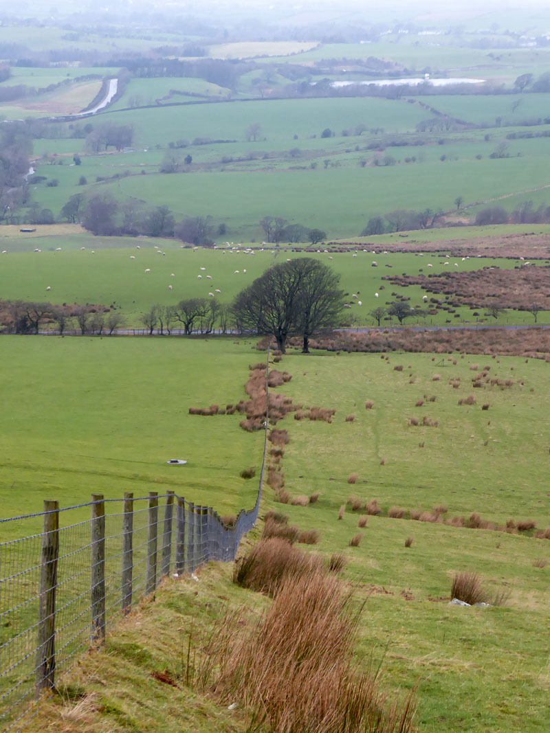
We walked down the fence line to the trees and then found a gate which was not locked. We joined the road which headed back into Lamplugh. Mockerin Tarn is further away.
To Lamplugh
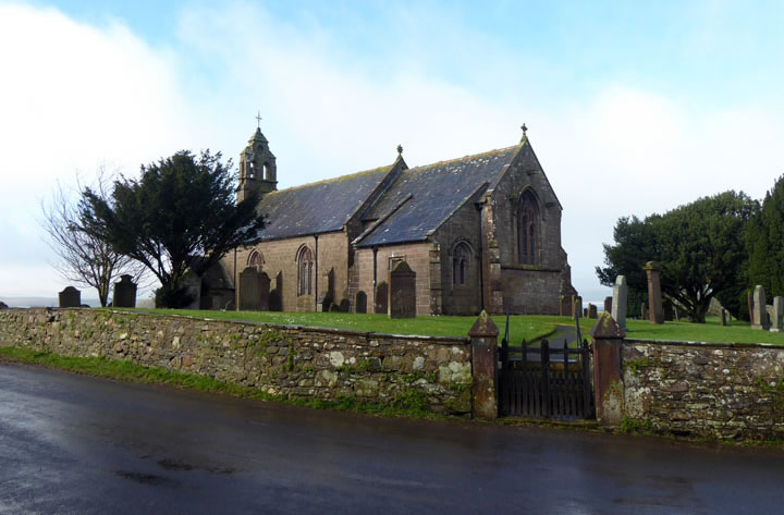
Lamplugh Church
~~~
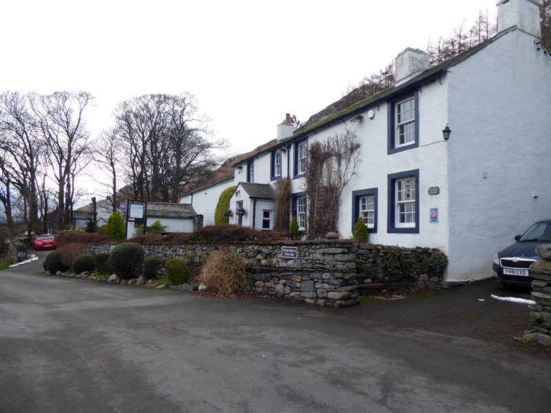
Scales Farm Country Guest House
Bed & Breakfast accommodation at Scales with the pub next door....
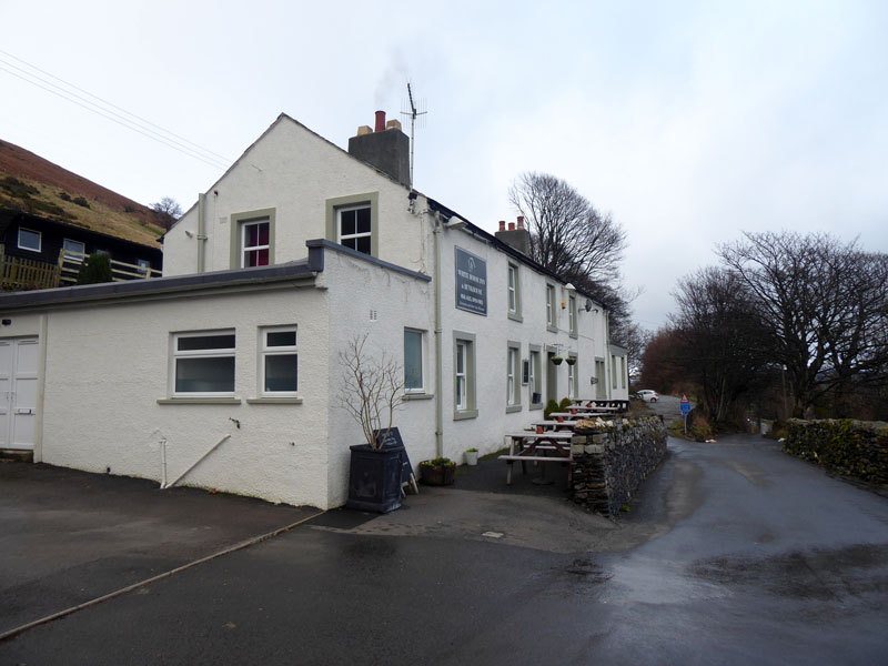
The White Horse, Scales
Later, Molly n' me had a walk up Mousethwaite Comb to taste the snowy conditions and mess about a bit before it got dark.
River Glenderamackin
I had a stroke of luck with the early detour on this walk as I am making my way through direct ascents of all the Wainwright Fells. I was aiming for Burnbank Fell, but it later dawned on me that I've achieved such a couple of years ago, so by reaching Blake Fell first I can tick another one off. Result! 187 done, 27 to go.
Time taken: 3hrs 30mins over a distance of about 6.5 miles.
Route: Lamplugh, Dockray Nook, Cogra Moss, Low Pen, High Pen, Blake Fell, Burnbank Fell, Meregill Beck, road back to Lamplugh
Weather and conditions: Dull, misty on the tops, cool. No significant wind as we were in the centre of a low pressure system.
Greetings: None
Refreshments: The White Horse at Scales offers generous main courses and desserts. Dogs very welcome. Handy if you are staying next door. It is open everday and serves food throughout the day. Highly recommended.
~~~
All photos copyright Richard Ratcliffe 2020 ©
Take me back to the start ....